Turn Satellite Maps into Solar Blueprints with AI
Check summary
Meet Solar-Roof-AI. It analyzes satellite imagery to auto-detect roofs, map obstacles, and simulate solar panel layouts with precision. Instead of juggling GIS platforms, CAD software, and messy spreadsheets, solar estimators and developers can calculate feasibility and export full blueprint reports in seconds.
More signals
Learning & Reference01
Watch The Code That Took Us to the Moon 🚀🌕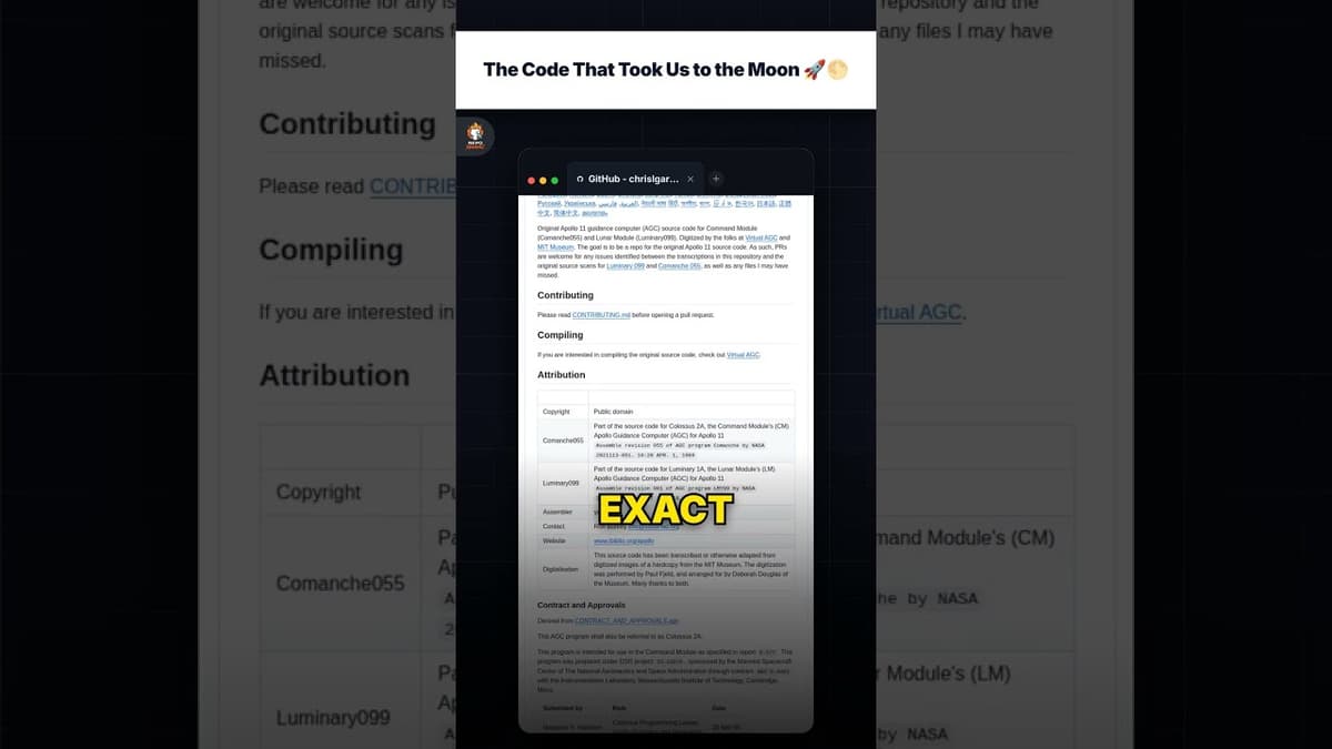
The Code That Took Us to the Moon 🚀🌕
00:30Sep 09, 2026score99
Learning & Reference02
Watch Anthropic's Accident is Your Masterclass: Inside Claude Code
Anthropic's Accident is Your Masterclass: Inside Claude Code
00:35Sep 07, 2026score98
AI & Machine Learning03
Watch Cure AI Amnesia with Garry Tan's gbrain
Cure AI Amnesia with Garry Tan's gbrain
00:35Sep 07, 2026score98